NebraskaView is Nebraska's state node for AmericaView, a nationwide consortium that supports the use of remotely-sensed data through applied remote sensing research, K-12 and higher STEM education, workforce development, and technology transfer.
NebraskaView's mission is to ensure that Nebraskans (e.g., state and local agencies, K-16 educators) make the fullest use of geospatial data products (such as Landsat images, digital aerial photographs, and digital elevation data) and technologies such as geographic information systems (GIS).

Announcements & News
AmericaView Awarded Five Year USGS National Land Imaging Agreement
AmericaView is pleased to announce that the United States Geological Survey (USGS) National Land Imaging (NLI) Program has awarded the next competitive five-year agreement of the National Land Remote Sensing Education, Outreach and Research Activity (NLRSEORA) grant to AmericaView.
AmericaView Supports USGS EROS in Celebrating 50 Years of Science and Discovery
AmericaView Hosts STEM Event at the USGS EROS Center To commemorate the 50th anniversary of the Earth Resources Observation and Science (EROS) Center, AmericaView was enlisted by the U.S. Geological Survey (USGS) to collaborate with the National Land Imaging team and EROS staff.
AmericaView Receives the Department of Interior and NASA William T. Pecora Group Award

The William T. Pecora Award, established in honor of Dr. William T. Pecora, former Director of the U.S. Geological Survey and early visionary of using remote sensing of earth from space, is an annual award presented to individuals and teams that have used satellite or remote sensing applications to make “outstanding contributions towards understanding the Earth, educating the next generation of scientists, informing decision makers or supporting natural or human-induced disaster response.” The award is sponsored by the Department of Interior (DOI) and NASA.
USGS Landsat Benefits to Nebraska
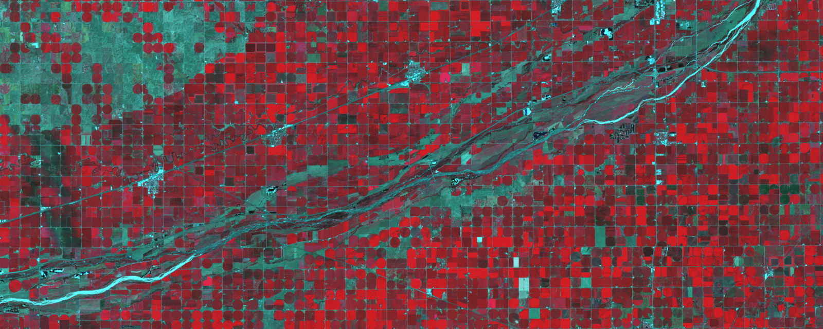
Data from the Landsat satellite program contribute to the study and management of Nebraska’s land in myriad ways, from monitoring crop productivity and aiding in rangeland management to tracking damage from floods, droughts, or hurricanes. Land cover maps produced using data pulled from the 50-year Landsat archive can offer important insights into urban growth, land use trends, and land change patterns.
Landsat 9 Mission Status
Landsat 9 satellite imagery is now available. For more details please visit the USGS Landsat 9 page.

U.S. Landsat Analysis Ready Data (ARD)
U.S. Landsat Analysis Ready Data (ARD) are products that make the Landsat archive more accessible, easier to analyze, and reduce the amount of time users spend on data processing for time series analysis. U.S. Landsat ARD are derived from Landsat Collection 1 Level-1 precision and terrain-corrected scenes which are further processed and arranged in geospatially-calibrated tiles and dense temporal stacks for immediate use for monitoring and assessing landscape change.
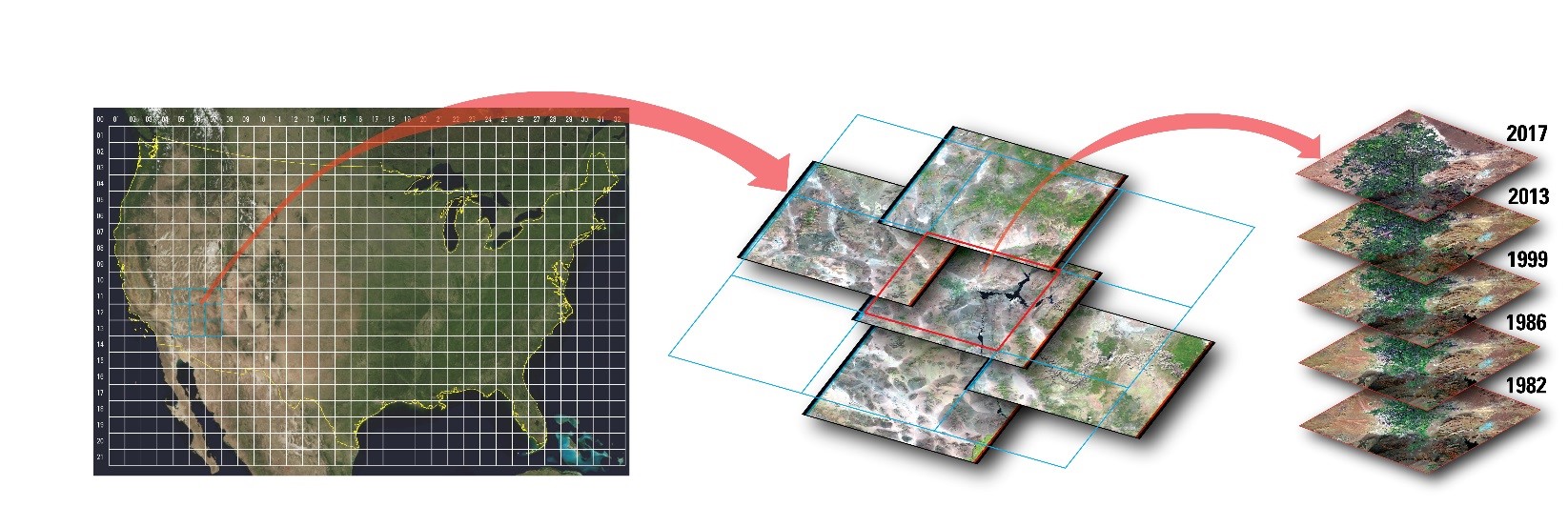
U.S. Landsat ARD are the first USGS data to be placed into the ARD tile grid-based structure. Figure 1 depicts the tile grid structure, how the selected tiles align over Landsat scenes, and how time-series data stacks can be created. Figure 1 above shows the ARD tile grid structure, how the selected tiles (blue squares) align over Landsat scenes (red square), and how time-series data stacks can be created.
Mapping the World's Most Precious Resource
A 'Ted' talk presented by Alan Belward that highlights the power of the Landsat archive when mapping surface water. https://www.youtube.com/watch?v=KqyKXUMPHg8